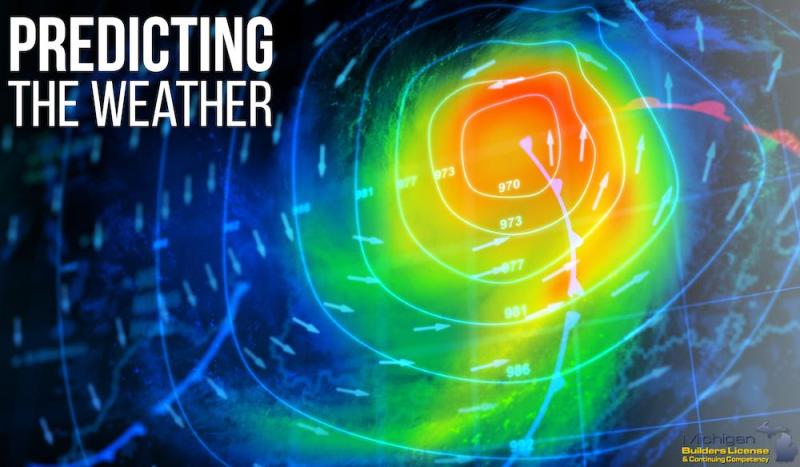
Have you ever headed out in the morning to what you expect to be a bright and sunny day, only to have the bottom fall out of the sky hours later, leaving you soaked and miserable?
I have…
And while the weather is always unpredictable at best (especially in the spring) there is one simple trick that can you can do in order to keep yourself out of rough weather…. most of the time at least.
Read the clouds!
Cloud reading has been used as a basic primitive weather prediction for thousands of years, and unfortunately, our protected, indoor lifestyle has caused us to forget how to read the world around us.
Clouds can easily be broken into four categories. These categories are high clouds, middle clouds, low clouds and clouds with vertical growth.
Clouds are one of the most reliable predictors of weather and cloud reading is a basic skill that every survivalist, hiker, camper, and outdoorsman should know.
So how do you “read” the clouds?
It’s fairly simple when you know what you are looking at.
10 Types of Clouds
There are 10 types of clouds that you should be able to recognize, but if you get their names confused, just remember that the higher the clouds, the better the weather will be.
- Cirrocumulus Clouds look like ripples of water on the surface of a lake. There is a sign of good weather and often dissipate to a blue sky.
- Altocumulus Clouds are fair weather clouds. They usually occur after a storm.
- Cumulonimbus Clouds are low thunder clouds that bring hail, strong wind, thunder, and lightning. They have a characteristic flat, anvil-like top.
- Cumulus Clouds are easily recognizable, large, white, fluffy clouds. They indicate fair weather when they are widely separated, but if they are large and many-headed, they are capable of bringing heavy showers.
- Cirrus Clouds are high altitude, wispy clouds, seen in fine weather.
- Cirrostratus Clouds are made up of ice particles and form a halo around the sun. If a Cirrus filled sky darkens and turns to Cirrostratus it is a sign of rain or snow, depending on temperature.
- Altostratus Clouds form a greyish veil over the sun or moon. If they get darker and thicken, it is a sign that rain is on the way.
- Nimbostratus Clouds form low blankets of cloud and indicate rain or snow, lasting for several hours.
- Stratocumulus Clouds can form a lumpy mass covering the entire sky and may produce light rain, but usually, dissipate by the late afternoon or evening.
- Stratus Clouds are low clouds that form a fog-like layer and may produce drizzle. If they form thickly at night and cover the morning sky, they will usually burn off and produce a fine day.
So the next time you head out for the day, take a quick look at the sky and make a judgment call on whether or not you should bring sunglasses or an umbrella.
Have you ever used this method while camping or hiking to know whether to run for the hills or head for the beach?
Source:


